
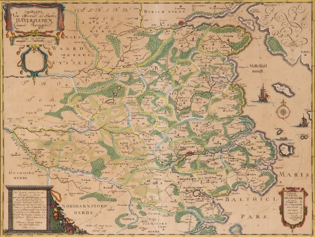
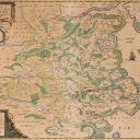
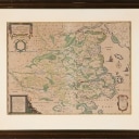
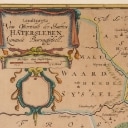
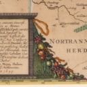
Johannes Mejer. Map of eastern Haderslev County
VAT lot
Description
Automatic translation from Danish.
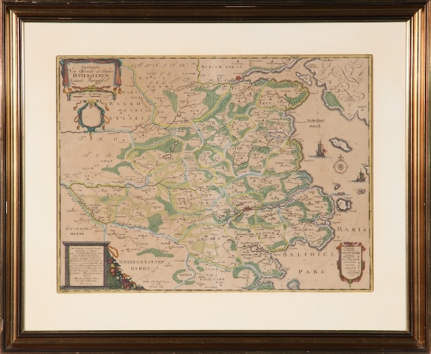
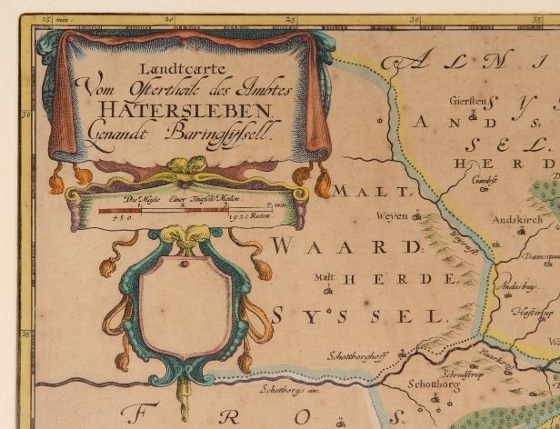
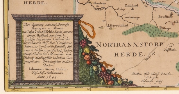
Johannes Mejer (1606-1674). Map of the eastern Haderslev County, 'Landtcarte vom Ostertheile des Ambtes Hatersleben Genandt Baringsyssell', hand-colored copper engraving, engraved by Matthias and Claus Petersen, Husum 1649. Dimensions: 40 x 53.5 cm (60 x 72 cm). Appears slightly yellowed, with centerfold as at publication.
Provenance: Danske Bank.
Auction ends: 02. May 2025 19:08
2 days 11 hours 29 minutes 19 seconds
Next bid
DKK 800
Incl. all fees
You can bid on the lot by either choosing the next possible bid or you can use our Max-bid service.
Read more about bidding hereYour bid
Loading...
Shipping Estimate
To get a price for transport, specify the country below.