Map of Russia, 'Carte generale d'Empire de Russie et de Tartari'
Description
Automatic translation from Danish.
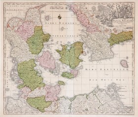
Map of Russia, 'Carte generale d'Empire de Russie et de Tartarie grande et petite en Europe et Asie', hand-coloured copperplate engraving, 1739. Dimensions: 50 x 56 cm (65 x 70 cm). Centerfold as when published.
Auction ends: 17. Dec 2024 19:30
4 days 14 hours 40 minutes 44 seconds
Next bid
DKK 2,000
Incl. all fees
You can bid on the lot by either choosing the next possible bid or you can use our Max-bid service.
Read more about bidding hereYour bid
Bid history
There have been no bids on this auction


